Your Guide to Hiking Upstate New York

New York State boasts more than 700 hiking trails that cover thousands of miles. These paths build communities, create connection, and serve as the source for annual family-bonding adventures. Those who know this territory well offer stories, advice, and technology for new trail recruits.

a view of foliage

Photo by Jonathan Miske.

Hiking Connects My Family, But Covid-19 Halted Our Tradition

A hiking trail in Old Forge, New York became a tradition in my family until Covid-19 changed it from happening. A Green Lakes State Park trail helped me reminisce on what was lost this year.

the family on top of bald mountain

I realized my mistake half a mile up the asphalt incline. Instead of researching and picking a trail that matched the ease we wanted, my friend and I found ourselves trudging up a mile-long road with no trailhead in sight. In fact, a year had passed since the last time I tackled a trail. But as I huffed and puffed, I began to realize how much I missed it. Around us, the wind whooshed, black and gray squirrels ran back and forth, and black-capped chickadees and tufted titmouses flew through the trees of Green Lakes State Park.

I picked a natural stunner to reacquaint myself with an activity central to me and my family, and as I look around at the forested hills, I’m embarrassed to admit this escape, which sits a few miles from campus, escaped my attention for my four years in Syracuse. The park features a golf course, beaches, roughly 20 miles of great hiking and biking trails, and one rare, turquoise-hued lake. The trails range from flat, grassy paths to paths twisting, turning, climbing through the forest. Year round, people can come and enjoy the beauties of the park in every season.

The hill became a bit steeper. I curved my spine forward trying to find some extra forward momentum. The sun covered the trail in warm light; yet, the below-freezing temperature and icy wind brought tears to our eyes and left our skin flushed. My thoughts traveled to the warm car several yards behind us at the bottom of the hill. We weren’t that far up yet, I thought to myself, we could totally turn around and no one would know we never actually made it to the trail. I wasn’t a quitter, though. I just failed to set myself up for success. I trusted my amateur history of hiking a little too much. With the straps of our water bottles weighing down our shoulders, my best friend and I looked at each other and paused to laugh at ourselves. Ahead, the path narrowed into the distance. In my hand, the bright screen of my phone read “0.5 miles to go.”

The trails we passed buzzed with fellow hikers, walkers, and a few joggers who surely felt called into action by the sunny but cold March day. Without a cloud in the sky, the light covered every available inch of earth. After the year we all shared battling the global pandemic, getting outside has often served as a coping mechanism. On our walk to the Rolling Hills and Vista Loop, we passed couples walking their dogs, friends laughing on benches, and families huddled on the lake’s shore, studying the water below and trying to get a little dose of vitamin D despite the chill in the air. At one point, we saw what I named in my head as the “power couple.” While my friend and I struggled, this man and woman ran past us at a steady, fast pace for such a steep incline.

the author in a trail at green lakes

Strolling down the entrance to the Rolling Hills and Vista Loop Trail at Green Lakes State Park. The beginning part of the trail twists through the trees until reaching a brief grassy field and then leading back into the woods. Photo by Emily Johnson.

The sounds of friends laughing lilting up and through the woods as we made our way to the trailhead reminded me of the summers spent outdoors and hiking that brought my three brothers, mom, dad, and a bunch of uncles, aunts, and cousins together. Every summer in the last full week of July, my father’s side of the family gathers for a week in Eagle Bay, New York, a small village in the vast Adirondack Park where my dad and his brothers and sisters spent their summers growing up, and now share it with their own families. The 9,375-square-mile park is home to the 46 high peaks (a challenge that earns you a badge of honor for completing), 3,000 lakes and ponds, and countless small towns and villages perfect for a family getaway.

For all of us, it was Eagle Bay Village. At the end of the main street sits Grandma and PopPop’s brown and orange cabin (aka main camp), along with the remnants of what used to be “Dan’s” the grocery store, offering a quick stop for ingredients for family dinners or when I found Dad’s wallet with some cash and wanted a snack. The Donut Shop, home to some of the best cinnamon sugar donuts in the world, sits a few yards down from the store. With mornings that hold a mountain chill in the air, the warm, soft, sugary donuts are the perfect way to warm up before the day begins. And about 2 miles down the opposite way is Inlet, where the annual shopping and Northern Lights ice cream trips happen along with church on Sunday. Several cabins scattered throughout the streets of the tiny village feature the cabins most of the uncles and aunts rent for the week. The majority of family time is spent at the beach, looking out over Fourth Lake, mountain ranges lining the water, a floating dock just ahead, and the boat dock to the right with our boat (“PopPop’s Boat” scrawled on the back).

We return to this place every year, packing families of five or six or eight into small, lakeside cabins for seven days, relaxing under the clear skies, dipping our toes in the ice-cold lake, and, my personal favorite, shaking sleep from our eyes as we take on a pitch-black morning hike to the top of Bald Mountain for sunrise.

Even though I have hiked Bald Mountain every July for as long as I can remember to watch the world wake, the sight of a mountaintop sunrise always surprises me.

But this year was different. As was everything else.

For the first time last summer, an entire family was missing: my dad’s second oldest brother, his wife, and three kids didn’t make it up. And for those who did come, masks were worn, hugs were few and far between (and believe me, we are a hugging kind of family), and big family dinners were no more. Like everything else, the global pandemic made its way into the precious seven days my family spends together. Five months of isolation, remote work, and aimlessly wandering through the four walls of spaces that felt more like confinement chambers than homes made me ready for Eagle Bay. When the pandemic began, we all thought it would be manageable by summertime. But Covid-19 stole that too, replacing the one week in my life defined by an absence of stress and commitments for seven days defined by absent family members, covered faces, and six-foot boundaries. An incomplete group and social distancing halted our usual traditions. Instead, those of us who came spent our days relaxing by the beach and campfire and eating alone in our separate cabins.

But as I trudged up the hill at Green Lakes, the burning in my lungs and slight chill that brought tears to my eyes, my thoughts turned not to what was taken last summer but brought back the singular crisp morning air of our family sunrise hike, my favorite activity of my family’s week together. It’s not often you can get several teenagers and mid-to-late-20-year-olds up at 3:30 a.m. to hike Bald Mountain, a 2,350-foot summit in Old Forge, New York. In my completely biased opinion, Bald Mountain serves as one of the best trails in the Old Forge area. The beginning of the hike is relatively easy, until you hit the steep incline for the last half of the trail. And newsflash: hiking a root-infested, rocky, and slippery trail with only lights provided by an iPhone flashlight provides a less-than-ideal situation.

the author's family

Of the 15 family members present for this July 2019 hike, six were missing from the 2020 family vacation. Making the trip wasn’t going to be safe for them during the pandemic. Photo by Caitlin Johnston.

But we always managed to do it. The one we did in 2019, the last one before Covid-19 happened, remains the most memorable. The blaring alarm went off at 3:30 a.m. Eyes still closed, I searched for the snooze button, giving myself a few more minutes of quiet. But I could hear the few who got up making their rounds. I always made sure I got up before anyone had to come in and shake me awake. But that morning, after a few curse words and a groggy “I’m up,” I and the others all found our way out of bed. Fumbling through our clothes, we found our warmest layers and wandered to our kitchens to pack a few water bottles and snacks.

Once outside, our feet crunching against the gravel served as the only sound. We moved as one sleepy mass of people gravitating toward the cars near the main camp and squishing in next to each other. Most of the girls went for the generic oversized sweatshirt and leggings with some sneakers. I knew my ears would be cold with the sun still down so I slipped on a thick headband as I walked out to the car. Upon arrival at the bottom of the mountain, we couldn’t see a thing. Piling out of the car, we gasped at the cold. The frosty air cut right through the layers we had. Hands fumbled for zippers, trying to keep what little body warmth existed there inside. The cold and ominous dark forest stripped the sleep from our minds. Tears sprung in our eyes as we adjusted to the drastic change in temperature. The trailhead in front of us, we counted heads and began.

In hindsight, I recognize my family qualifies for a “most unprepared hikers” award (I guess it must be a Johnston gene). Lacking in all aspects of equipment, proper footwear, and supplies, we rely on the large size of our group to serve as a resource for any mishap, misstep, or menace. Unlike my adventure with a friend to a park we have never been to with little to no cell service and no research or understanding of the place, my family outings featured at least 12 to 15 people familiar with the landscape. We arrived each year as a force to reckon with (or so we told ourselves).

Despite our size and the protection we imagined it delivered, we always separated into groups at one point during the hike. And that’s what happened that July morning hike. My aunts and uncles made it a casual and leisurely walk up the mountain. They took their time and made it to the top just before the sun started coming up. Then, some of my older cousins and a few of the youngsters liked to serve as the pace cars of the hike. They kept a nice steady pace and called out “root” or “rock” or “mud puddle,” creating a single-file line to the top. The condition news flashes proved particularly helpful this day. The ground was wet, our shoes were wet, the rocks were wet, and we lacked light.

Lastly, our group featured the overachievers, of which I often found myself among (and still feel a part of despite my Green Lakes hiking performance). We cruised up the summit. My younger brother Ryan led the way, which wasn’t ideal since he opted to wear all black, making him both difficult to find and to follow. We tripped over roots, slipped on the rocks, and, occasionally, took a wrong turn. At one point, Ryan stopped. My little cousin McKenna says from behind us, “This definitely does not look like a trail.” And she would definitely know. Her family owns a cabin near here, and she spends all summer exploring these mountains and their trails. We looked around, trying to hear any sound of footsteps from fellow family members. A few bird songs, a rustling of leaves to the right, but no footsteps. Finally, after wandering off for a bit, McKenna found remnants of the trial. We leaped across a huge puddle that separated us from the trail and took off. But, at this point, Ryan began to narrate the tricky adventure in his best Australian accent.

As a Division I collegiate runner, my brother can conduct entire conversations while running an all-out sprint. On this day, I used his constant noise to focus on anything other than my shaking legs and my burning lungs as they resisted the elevation change and refused to take in adequate oxygen. I kept checking behind me, making sure my cousin McKenna remained with us. Like Ryan, she made it up the mountain without even showing signs of fatigue.

The fire tower serves as the first indicator of the mountaintop’s proximity. When I looked, it stood tall and ominous against the dark sky, making me feel even smaller on top of this vast mountain. In order to get to the ideal sunrise-watching position, I have to navigate the deceitful rocky terrain that leads to the fire tower and the area below it. The darkness makes it impossible to prepare for all the uneven surfaces and surprise holes within the trail. As family members slowly started regrouping at the top of the mountain, I heard a scuffle, a few curse words, and then a thud. I silently waited for the “I’m okay!” This exact sequence happened a few more times before everyone made it to the top.

view from the top

Just in the middle of the lake, two islands become visible. My family has named them (unofficially) Big and Little Islands. When water skiing during vacation, first time skiers must make it from our boat dock by the beach to Little Island and back to officially join the veteran skiers of the family. Photo by Caitlin Johnston.

Once on the summit, the group dispersed into different groups. The rocky terrain made for cozy alcoves, protected from the wind and cold. Everyone has their own “perfect” spot. I went with my brother and two cousins, Colleen and McKenna, to climb the flights of stairs to the top of the fire tower. Others settled in on the cold mountaintop looking out over the mountain range and lake. The fire tower’s height gave me a bit of vertigo. So I opted to make my way back down before the sun showed up. I sat next to my cousin-in-law Laura. We huddled together, absorbing each other’s body heat, and waited. Birds sang their early morning songs, and the rustling of leaves indicated animals starting to wake. I always loved this part. The anticipation. My heart raced a little faster, and the darkness added to the drama. The collective breathing of all the members of my family existed as the only constant sound.

Even though I have hiked Bald Mountain every July for as long as I can remember to watch the world wake, the sight of a mountaintop sunrise always surprises me. The silence becomes filled with the noise of nature as the dark sky begins to lighten, revealing the deep fog settled over the water. The journey of the sun’s light starts from the left side of the mountain. Those on the fire tower see the first glimpses through the pine trees as the sky erupts into pinks, oranges, fuchsias, reds, and, eventually, yellows as the little bright orb rises over the horizon. Looking at my cousin Laura next to me, her eyes seemed glossy with the morning cold. The colors of the sky reflected in her eyes, and the golden orb sat just above her pupil. Around us, the fog rose off the lakes down below, the mountain ranges revealed themselves, and the glistening dew on the pines and grass sparkled. At first, there wasn’t much noise from us other than gasps and the occasional “wow.” But then we looked around and shared in each other’s awe.

By the time my friend and I approached the top of our Green Lakes hike, I felt something similar to the relief and joy I experienced on those final steps of Bald Mountain (except this time I lacked a poorly executed Australian accent to keep me distracted). Desperate for an end, I ungloved my hand to wake my phone up and check my app. How much farther was this stupid trailhead? Straight ahead. The app AllTrails glowed bright green: go straight. Ah, yes. Of course. The asphalt road was coming to a close and flattening. Our feet ached, but the burning in our legs began to cease. The trail’s end sat just beyond the horizon.

the author with her cousin

My cousin’s wife Laura and I rest against the rocky mountain top. Once the sun rises and the initial awe fades, the sleepiness from earlier starts to set in again. Photo by Caitlin Johnston.

We figured a short walk would deliver us to the end. We were wrong. A massive lake below added much to the trailhead. As the trail flattened, it revealed a world of natural wonder. The trees were bare, but the lack of color showcased the lake’s blue made brighter by the sun. Birds flew through the branches, and the slight breeze picked up a few leaves on its way past us. Just on the edge, when we finally peeled our eyes from the lake below, a sign stood tall on the side. “Rolling Hills” and an arrow pointing straight. Finally.

To my surprise, just like the top of Bald Mountain, nature painted a perfect scene. Tall brown and barren trees crowded the view in front of us, allowing for pool upon pool of golden light. I struggled to find one place to rest my eyes. So many things called for my attention. The details of our trail conversation about all of the homework that awaited us and distracted us from the burning in our legs fell away. The trail radiated with a golden hue that bounced from branch to branch and trunk to trunk. Brown and crumbled fallen leaves, once full of color, covered the trail, and small piles of snow brightened the dull forest floor. Rather than the bright colors and a changing sky offered by the mountaintop hike, this vista featured the little beauties of simple green moss on a nearby log, a red cardinal whooshing by, the sunlight illuminating a dewy patch of green moss on a fallen log. Thoughts of assignments, graduation, jobs, relationship drama evaporated.

As my friend and I finished the hike through the Rolling Hills and Vista Loop, we made our way back down to the lake below. “Just imagine all of this with greenery and flowers and warm weather,” I say to my friend. With fewer layers, an understanding of the terrain, and a determination to see the same trail in a different season, we promised to return in the six weeks that stood between us and graduation.

Cayuga Trails Club Brings Upstate Hikers Together

Over 200 hiking enthusiasts are hiking and maintaining trails in Upstate NY. The Cayuga Trails Club has brought hikers together for nearly 60 years. Since the pandemic started the club has had to function with restrictions, but still serves as a place for NY hikers to come together.

members of he cayuga trails

It all started as a way to make outdoorsy friends. About 20 years ago, Gary Mallow joined the Cayuga Trails Club, and now, he counts all of his friends among the 200 member hiking club based in Ithaca, New York. “My circle of friends has changed. My circle of friends now are all hikers, really, my life has changed as a result of being involved with the group,” Mallow says. “My connections to people, my closest friends, they're all people who enjoy the outdoors the way I do.”

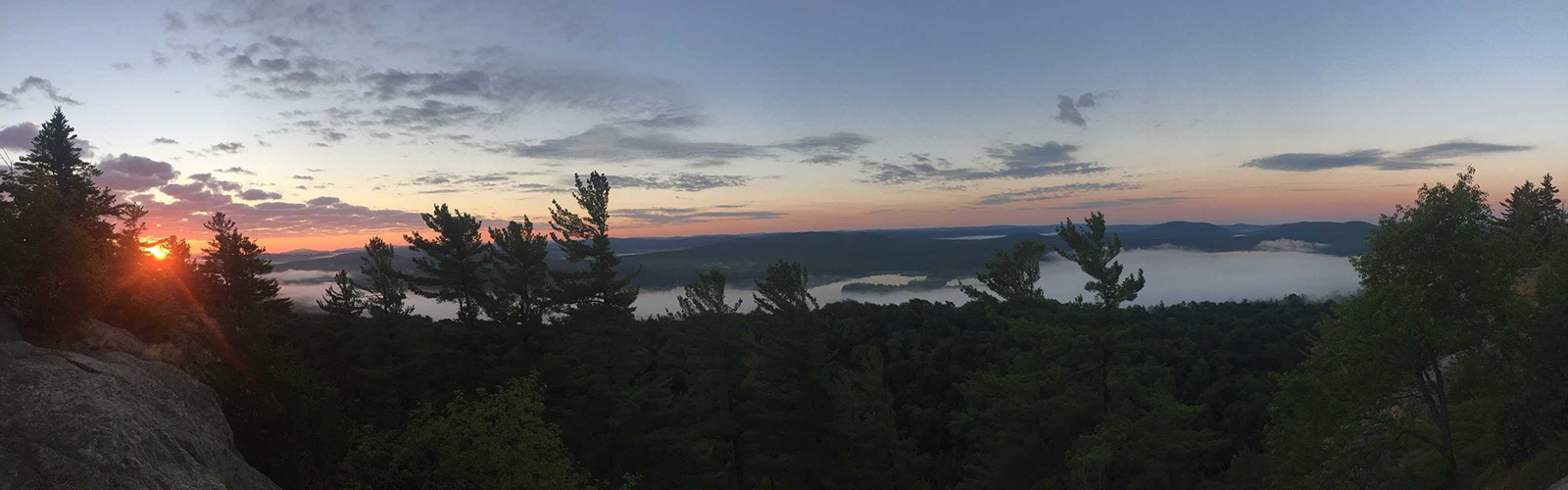
The Cayuga Trails Club began in 1962, and according to Kresita DeGeorge, the group’s publicity chair, has two main purposes — maintaining hiking trails and facilitating group hikes and activities such as non-hiking social gatherings and Zoom guest speakers. Club members maintain more than 100 miles of trails of the Finger Lakes Trail System, one that includes 560 miles of trails, starting at the Allegany State Park in Salamanca, N.Y., on the western part of the trail, and ending at the Catskill Mountains on the eastern side.

“It's a little bit like the Appalachian Trail or the Great Divide trail, you have the longer trails, it's nowhere near that long or that famous, but it's the same idea as a long-distance hiking trail,” DeGeorge says.

Since the pandemic began, all club meetings shifted to virtual gatherings, and they have held unofficial get-togethers over Zoom on Thursday evenings, DeGeorge says. The club also has invited some guest speakers to those meetings and conversations to discuss access to the outdoors.

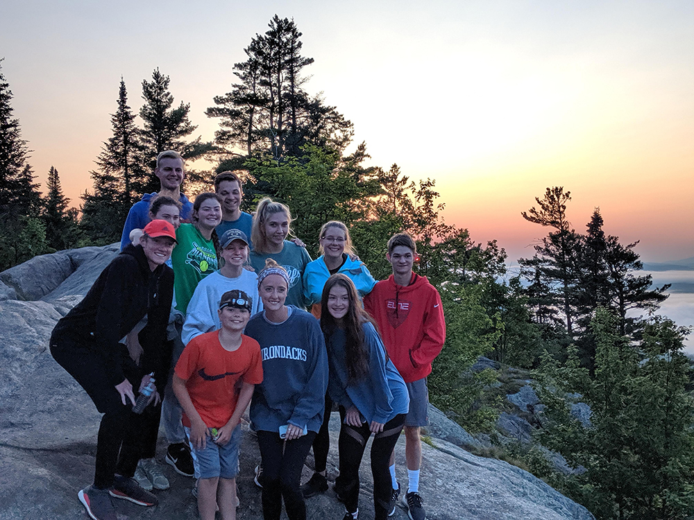
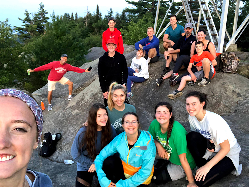
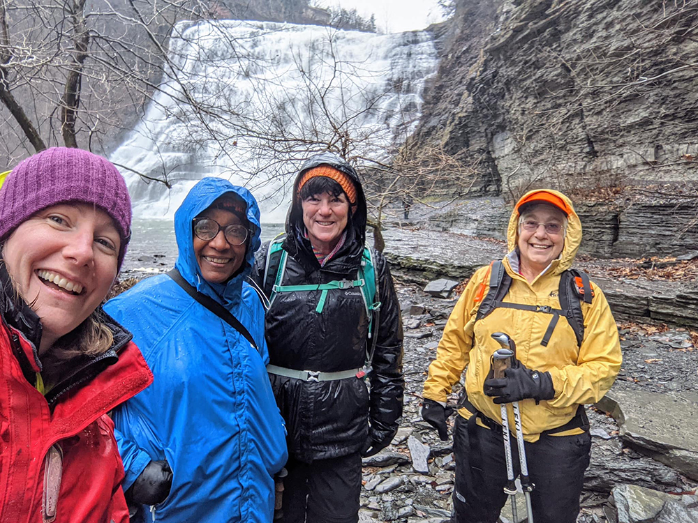
But the pandemic also forced the group to adapt to one of the most popular activities, group hikes. Health restrictions dictate that the hikes be limited to a specific number of people, require a registration online beforehand, and that everyone wear a mask. These group hikes typically include a guide who is wilderness first aid certified, DeGeorge says. At April’s executive board meeting, the group voted to change the group hike restriction from 10 to 15 people.

Mallow says that when the pandemic hit, executive board members were “gobsmacked” at first and struggled to deal with the pandemic and its impact. Mallow served as club president for five years and ended his term at the end of 2019. The club’s current president is Polley McClure.

trail maintenance

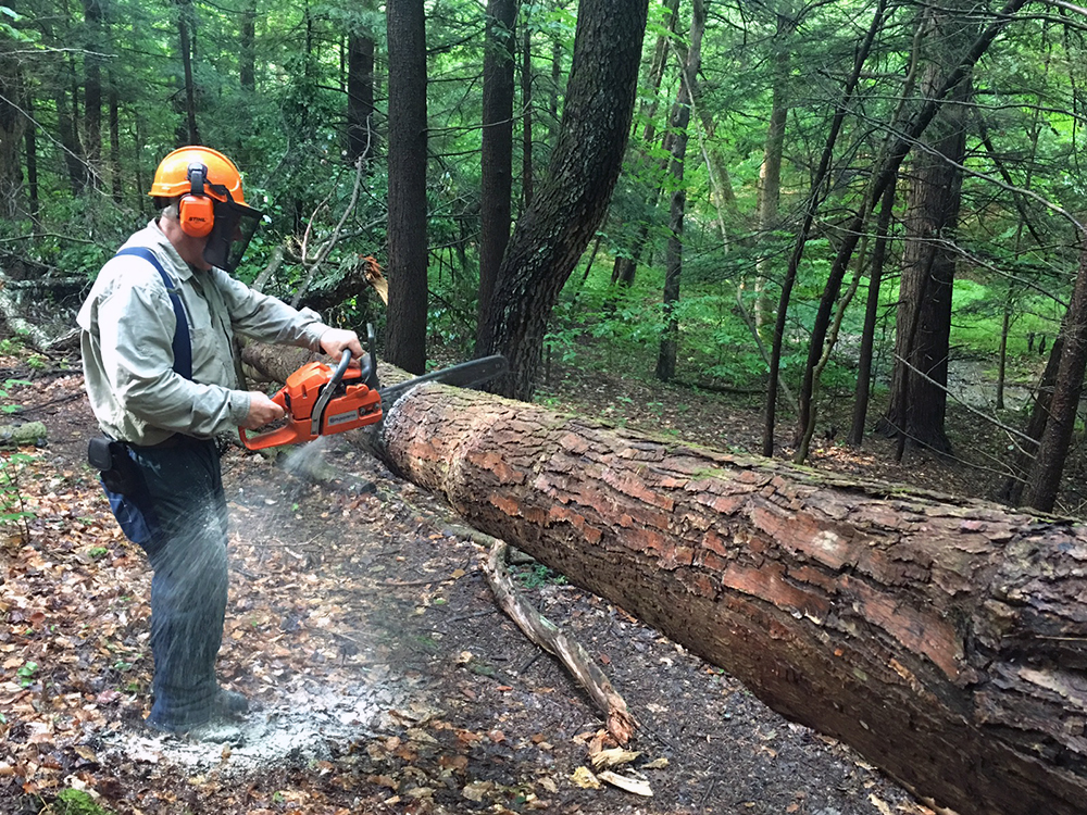
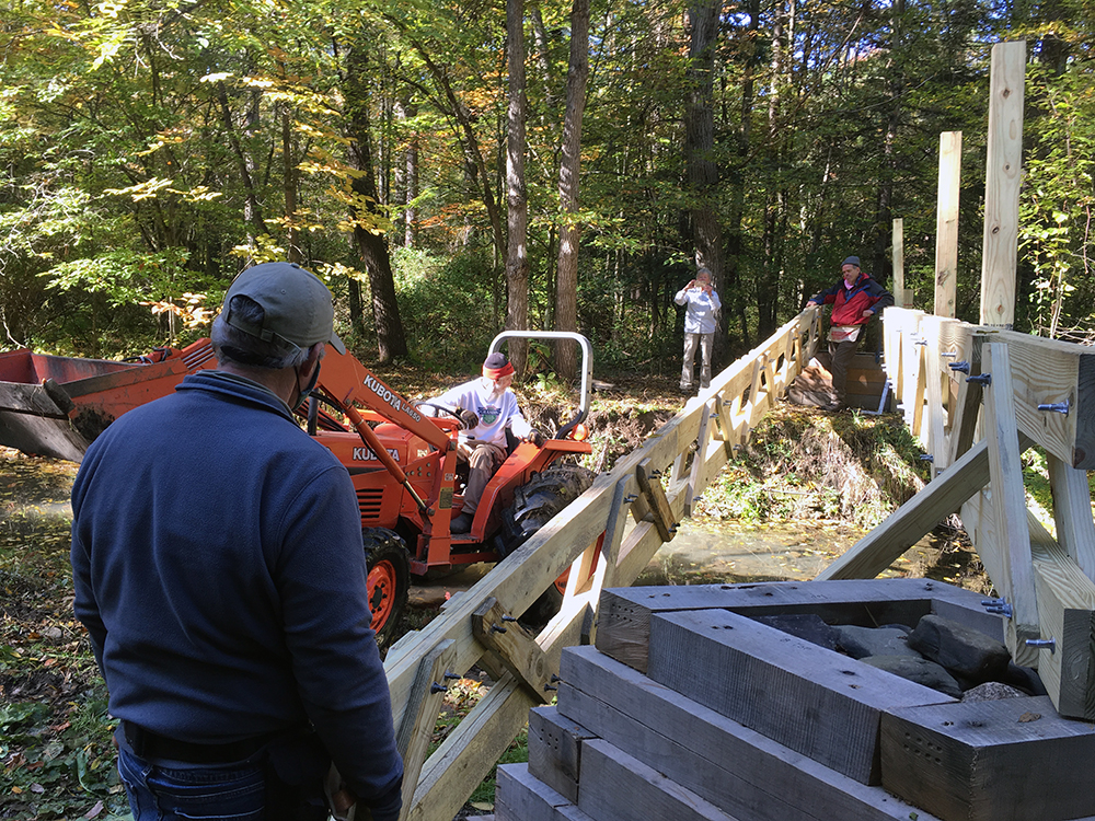
Trail maintenance can mean cleaning up trash and debris, but sometimes club members have to remove fallen trees from hiking paths. This means using a chainsaw, which requires a certification to operate. Photo courtesy of Gary Mallow.

“Credit to our president. I asked her if she would take on the job to replace me. I think if either one of us knew what she was going to have to go through last year, I wouldn't have asked her and she wouldn't have accepted,” Mallow says.

The club took a brief hiatus from all in-person activity at the start of the pandemic, but is now able to do its other main activity, which is trail maintenance. That work includes cleaning them up, ensuring there’s no debris, and, in some situations, removing a fallen tree that could re-route a whole section of a trail, DeGeorge says.

David Priester, the vice president and trails chair, says he is the person who people go to when they have a problem maintaining the trail. Usually, that means the problem requires something “bigger than they can manage with a handsaw.” When called, Priester then decides what resources and people are needed to help. The club has four to five certified chainsaw operators, and many club members have a wilderness-first-aid certification, the cost of which the club typically covers.

One of the biggest parts of maintaining a trail is that it requires members to maintain relationships with a variety of stakeholders, DeGeorge says. These stakeholders can be state and county officials, people who work for the Finger Lakes Land Trust, and faculty at Cornell University (due to the fact that the trail runs through part of campus).

Priester said that while maintaining trails can be time consuming and difficult, it can also be very rewarding. “When I'm out doing some trail work, and I run across hikers, they're so appreciative of the amount of work they realize that goes into keeping those trails passable,” he says. “Because if you don't keep after a trail, the woods will take it back and will obliterate it very, very quickly.”

Preserving the land is also very important to Mallow. About half of the FLT is privately owned, which puts the land at risk. He says that at any moment a landowner can take a section of the land and knock it down to create building lots. “We got a lot of natural areas to take advantage of here, but it's threatened, it's always under threat, because private property belongs to the people who pay the taxes and own it,” he says. “They pretty much get to say what happens to it.”

Preserving land remains important to club members, but they also are devoting more time to exploring the critical question of who has access to the outdoors and to trails. DeGeorge cites an initiative started by individuals at Cornell University titled “TCAT to Trails,” which seeks to improve access to nature for users of Tompkins County Area Transportation, or TCAT.

a bridge build

Some group members just partake in group hikes, while others are responsible for maintaining a whole section of the Finger Lakes Trail. Sometimes that includes building structures like bridges to make sections more accessible. Photo courtesy of Gary Mallow.

Emile Bensedrine, a sophomore at Cornell University majoring in City and Regional Planning, says he received an email from the Cornell Outing Club that said “bus stop hikes guide” in early November 2020, the early stage of the initiative, that piqued his interest. Now, Bensedrine serves as a co-manager on the project, which counts as class credit for him and other Cornell students who work on the initiative. The first meeting attracted members from the Cayuga Trails Club, Cornell students, and members of the community. Their first step was to figure out which bus stops offer access to which trails and how to properly display trail information on transportation maps.

When that goal became a bit daunting, Myra Shulman, CTC member, decided to apply the project to Design Connect Cornell, a student-run organization that works with communities and organizations in Upstate New York to provide good conceptual designs. Bensedrine says that it is much easier to receive grants when projects feature good designs. The Design Connect approved the project, and it officially became a class for Bensedrine and the other students.

Project members have been working on a map for ithacatrails.org that shows which bus lines lead to trails, putting up signage for the maps on buses and at bus stops, and moving bus stops to become more accessible to trail heads. The launch date goal for the map is mid-May. Bensedrine says the most surprising aspect of the project is how receptive people and certain organizations have been to the project, especially people working at TCAT. “Myra had a good explanation to this that Ithaca is not alien to grassroots projects like these, and so you have a lot of these receptive organizations, especially organizations receptive to Cornell,” Bensedrine says.

5 Apps to Guide Your Next Hike

Looking for ways to upgrade that upcoming hike you’re planning? These apps connect you to outdoor communities, deliver topographic maps, offer data-driven guides to the most popular trails, and can even find help off-grid.

If you’re getting ready for that much-anticipated weekend hiking trip with friends or family, the good news is that you can now leave those paper maps at home. But don’t forget to charge your phone. The mobile-first generation of hikers, from casuals to enthusiasts, are using apps for easier navigation and preparation. As greater rates of people go out and reconnect with outdoor spaces during the COVID-19 pandemic, mobile apps help with accessibility. Further, trail guides and other experts within the hiking community have embraced the mindful use of this technology as a resource.

“That’s part of the first step of being a responsible, you know, hiker,” says Michael “Bombay” Papa, New York State Licensed Guide for 360 Guiding and Wilderness First Responder. “Just doing the research, doing, the preparation, and really getting an understanding of where you’re going, making sure you’re familiar with the route and what is within your ability.”

While apps are useful for accessing more information and research, they can be limited in other regards. Peggy MacKellar, New York State Licensed Guide for Adirondack All Seasons Guide Service, is wary of subjective information and users mistakenly thinking that they’re safe when they’re not. “There are many, many places in the Adirondacks where there is absolutely no service, so people who rely on their phones for navigation, light, rescue, etc. are putting themselves and our search and rescue folks at great risk,” she says. Non-mobile hikers like MacKellar describe themselves as “old-school,” still preferring physical guide books.

Michael Papa, on the other hand, advocates for a middle ground between apps and experience. “I would definitely encourage people to use the apps; they are fantastic,” he says. “I would just encourage people to just be prepared and respect the wilderness, and one of the things that they can do to be prepared is to bring along the 10 Essentials, which is the list that's kind of been around for years and it's evolved over time.”

All of the mobile apps mentioned below are best used when accompanied by a foundational knowledge of hiking, not as its substitute. There’s just no replacement for the vital development of navigational skills.

all trails
alltrails app logo

1. The Choose-Your-Adventure Assistant

With little to no outdoor experience, All Trails can point you in the right direction. This app includes a customizable search parameter tool that delivers the exact type of hike you want — down to distance, elevation, and ability (ranging between easy, moderate, to hard). It then provides a specific GPS route complete with pictures, reviews, and all the necessary research in one place. All Trails is also the best app for discovery, Papa says. “When you're searching for the trail, it’s going to give you all the basic intel that you need on it, and you can bring the parameters down to search for an easier trail, that’s only a few miles with limited elevation gain,” he says. “With the combination of all those things, that's going to be all of your information in one place, there's a reason why that app is growing and gained so much popularity in a rather short period of time.” The pro version offers an offline map mode that keeps you on track without service courtesy push notifications. The downside to this convenience is its drain on your phone battery. Available for free on iOS and Android.

guthook guides
guthook guides app logo

2. Long-Haul Leverage

Intended and suited for long-distance trail users, Guthook Guides works offline to provide specific information on resources and important landmarks on your journey, including campsites, water sources, shelters, road crossings, trailheads, and viewpoints. Users add comprehensive trail guide data through in-app purchases, which delivers entire guides to the country’s most scenic climbs, including the Appalachian Trail, Pacific Crest Trail, and Continental Divide Trail. Guthook Guides has an average of 4.8 stars with +15,000 reviews across play stores, and according to users is “irreplaceable,” “indispensable,” and a “must-have if you hike these trails.” Available for free on iOS and Android.

the hiking project
the hiking project app logo

3. Community Connector

Part of the larger crowdsourced REI-backed initiative the Mountain Project, the Hiking Project app features information submitted by other users from around the world.The emphasis on user-generated content means it serves as a reliable meeting place for the national and international hiking community. Users can then gain access to a massive amount of recommendations. Its trail directory, for example, features 239,559 miles in 74,329 trails. The Hiking Project averages 4.5 stars based on +1,600 reviews on the Apple App store, and according to users is “an incredible tool,” “just what’s needed,” “lifesaver,” and “the app that every hiker needs.” Bonus: It’s free and ad-free. Available for iOS and Android.

gaia
gaia app logo

4. The Detailed Generalist

This navigation-based app leverages breadth over depth, but its GPS feature allows hikers to plan their trips and track them as they go. With attention to detail for both on and off-trail travel, Gaia also offers topographic maps with satellite imagery for an enhanced experience. According to Hunter Corliss, Utah Licensed Guide for Red River Adventures in Moab, Utah, it’s great for exposure to unfamiliar areas. While they do offer a free version, the subscription-based model includes regular and premium memberships. With the upgrade, you’ll be able to download maps for offline use and access the full catalog. Available with in-app purchases on iOS and Android.

garmin earthmate
garmin app logo

5. Trail Responder

The Earthmate mobile app from Garmin functions as a personal emergency beacon for those who prioritize safety. “It's something I've been using for the last two years now, and it was an improvement from the last emergency beacon that I carried,” Papa says. “This for me is the game changer. I know there's a few other options out there, a few other competitors, but Garmin Earthmate is the one that I've used and that's what I would encourage people to look into and consider.” Earthmate connects your phone with the company’s inReach device, which operates as a satellite-backed GPS. It also features two-way messaging capabilities, making it both a spot device that pinpoints your location, and one that facilitates communication if you need to text others. Available for free on iOS and Android.

Land Acknowledgement

Our pursuit of outdoor joy is remiss without the acknowledgement of the occupation of unceded Indigenous land. We are students and journalists working, writing, and living on the land of the Haudenosaunee Confederacy, comprising the Six Nations made up of the Mohawk, Onondaga, Oneida, Cayuga, Seneca, and Tuscarora nations. However, acknowledgement is not enough. Read More.